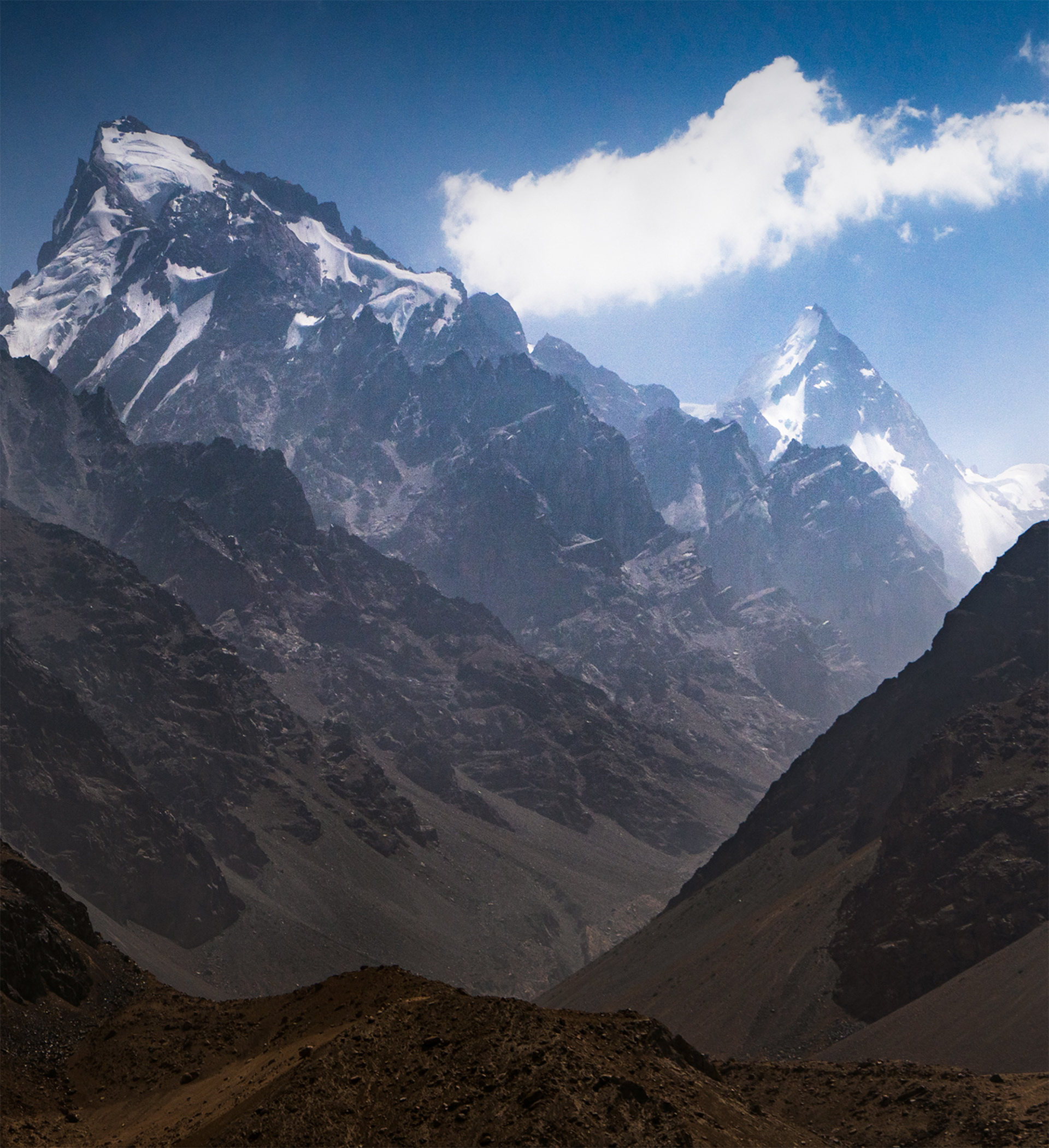
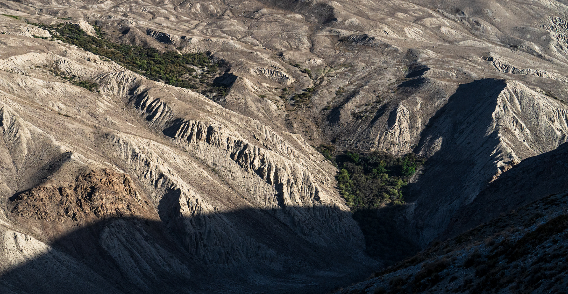
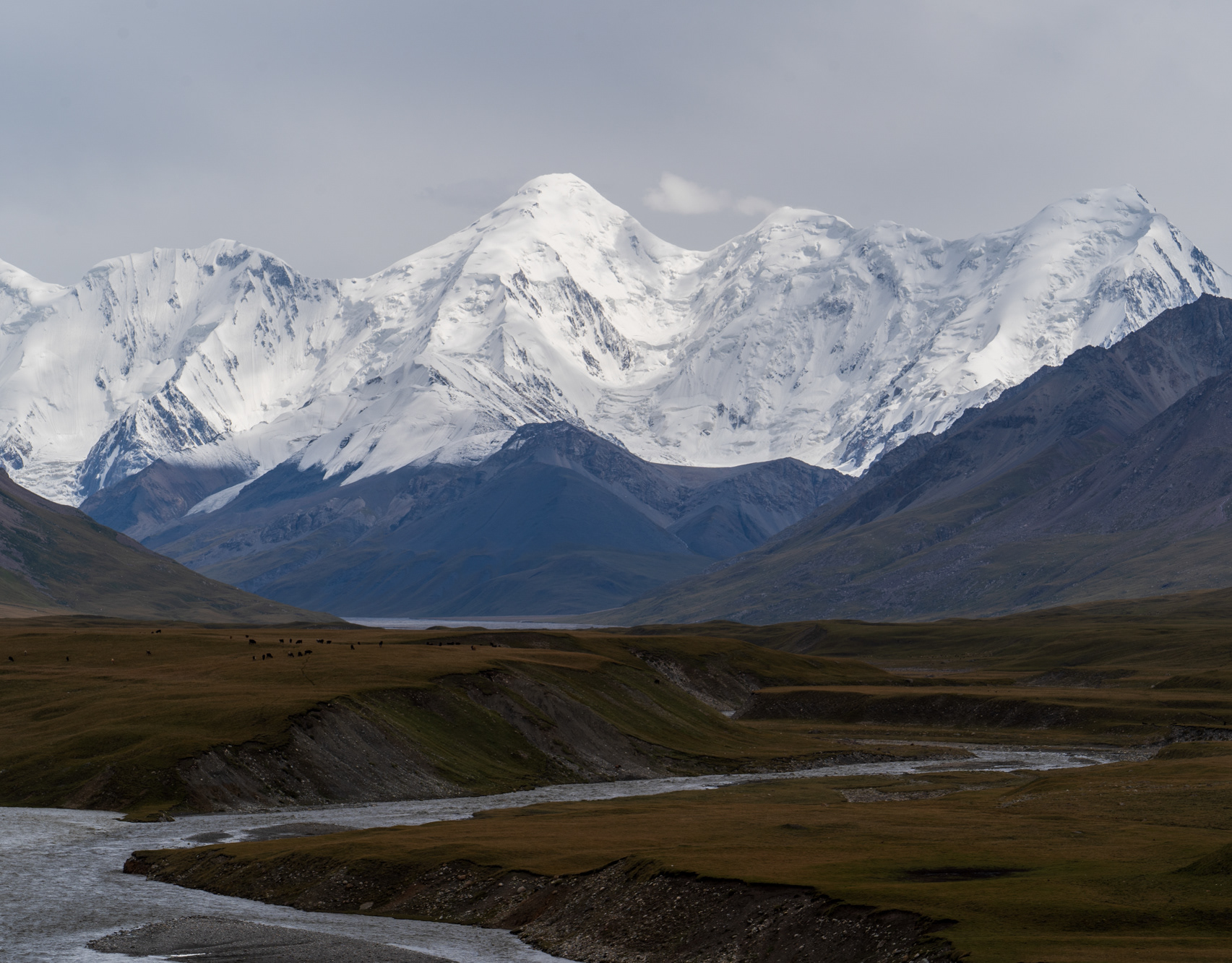
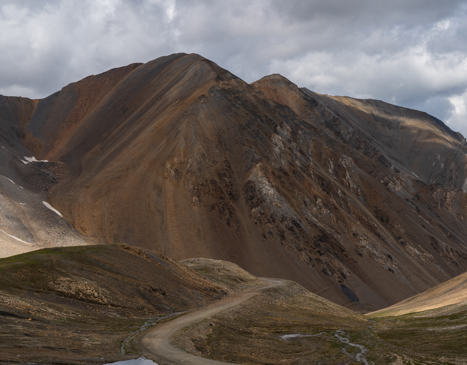
Turning off South from the M41 Pamir Highway, we started descending into the Wakhan Valley, one of the region's most interesting places: Tajikistan on one side of the mighty Oxus river, which eventually flows through all of Central Asia into the dying Aral Sea, on the other - Afghanistan. Just a few hundred metres separated us from the rugged Afghan landscapes, transitioning from parched, arid greys and browns to surprisingly lush Wakhi villages. This is an area of Afghanistan that has never truly been under Talib control, until 2021. Even now, this region is so remote, it would be easy to assume that the black and white flags of the regime, and occasional repurposed US military truck, are all that really mark the Taliban's presence.
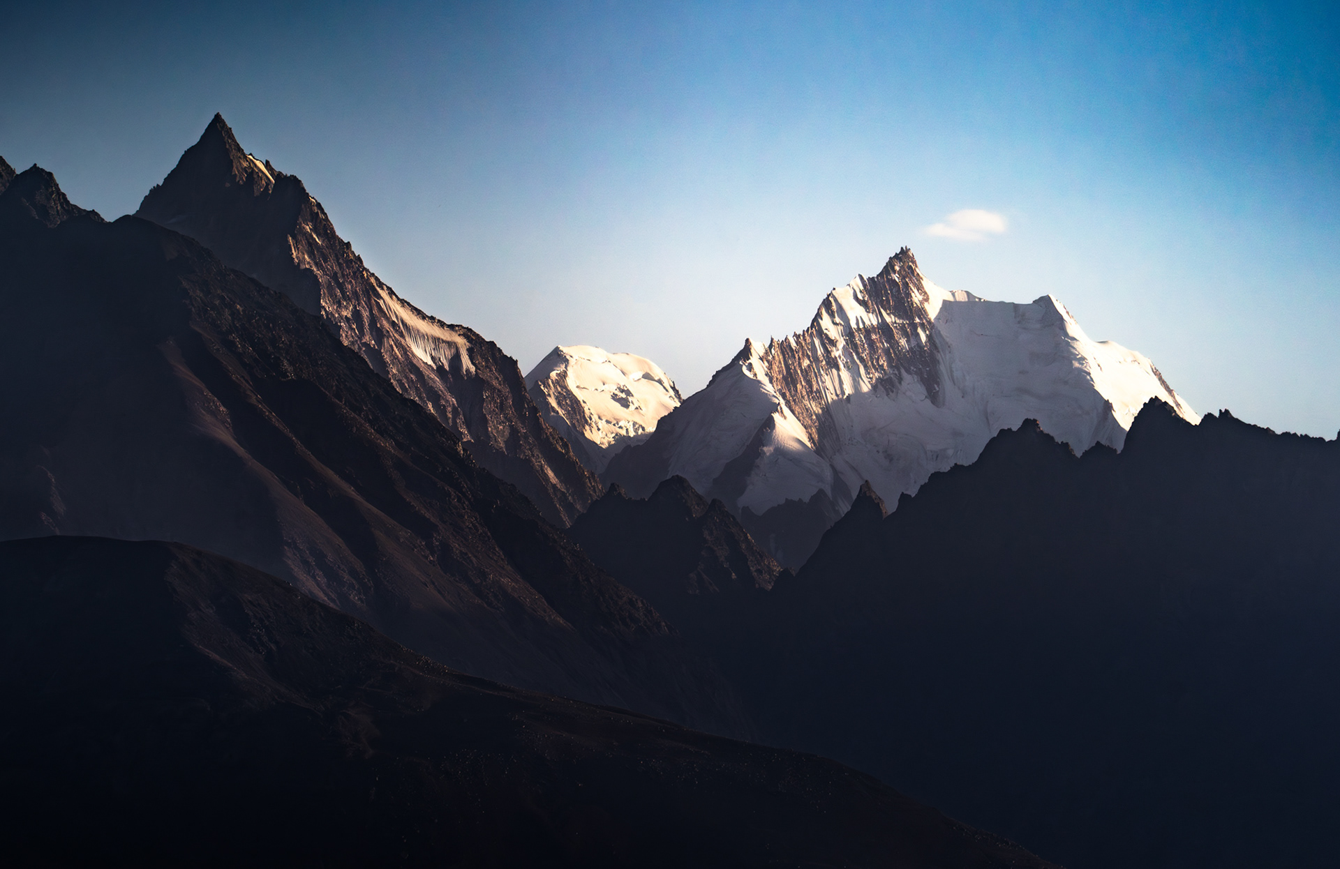
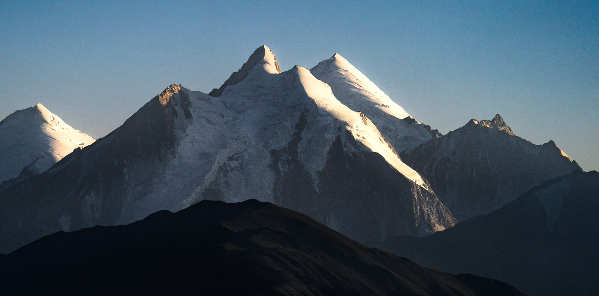
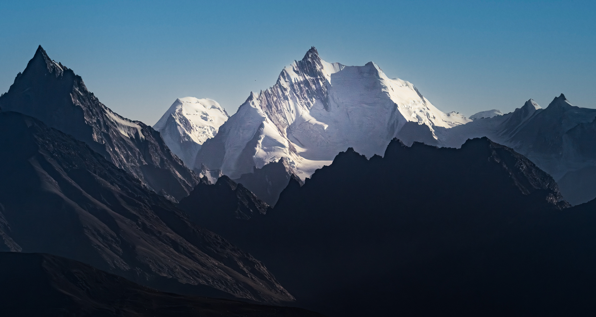
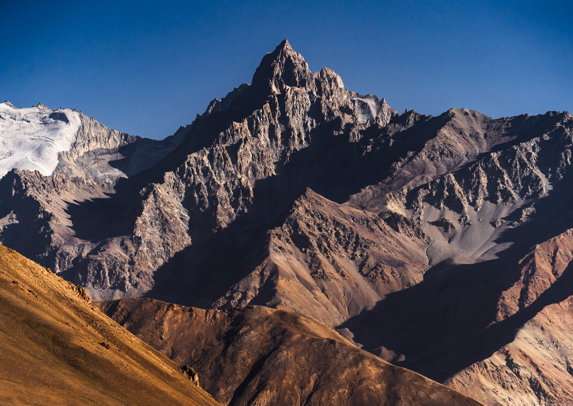
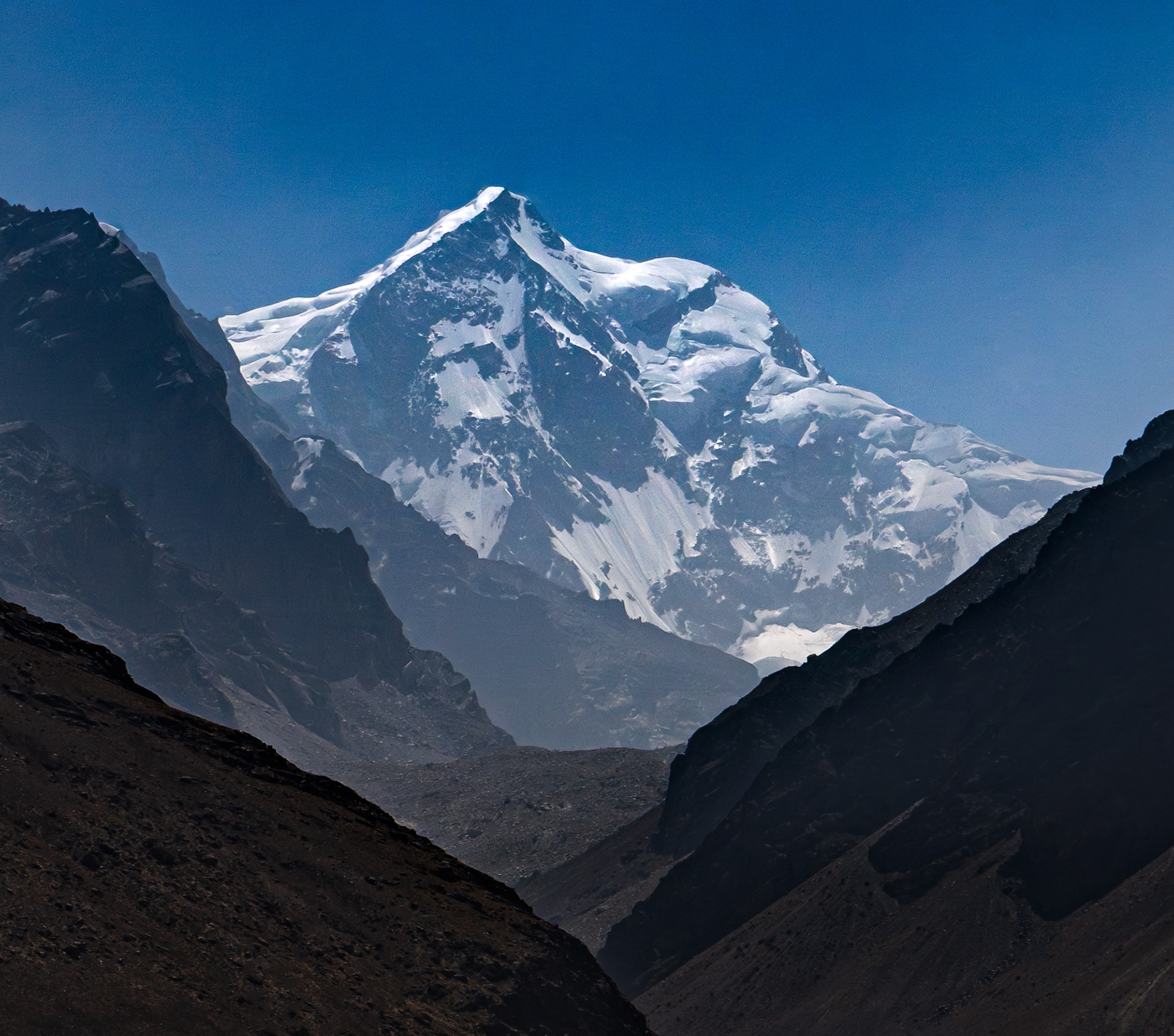
This narrow strip of Afghanistan, at the confluence of the Pamir, Hindu Kush, and Karakoram ranges, is home to a staggering number of 6,000m+ peaks. Unfortunately, as we were driving through, the entire Wakhan valley was engulfed in a heavy haze, obscuring the peaks, and together with a heavy Tajik military presence that wasn't too keen on us taking photos, it was difficult to capture these peaks how I had originally intended to. Nevertheless, please enjoy these rare scenes.
Although Noshaq, Afghanistan's highest mountain rising to 7,492 metres remained elusively out of sight, we were able to catch hazy glimpses of several giants, including 7038m Shah Dhar, whose summit lies in Pakistan, Koh-E Hevad (6,849m), Rahozon Zom (6,553m, summit in Pakistan), Koh-E Qala Panja (6,328m), and Koh-E Sedara (6,150m).