
We begin where the road ends: the remote village of Askole, home to just a few hundred Baltis, a 7-8 hour drive with 4x4 Toyotas ranging from the 1980s to newer models from the late 90s, from Skardu, the mountaineering capital of Pakistan.


Surprisingly lush and green, this would be the last time we would see such colours for almost 2 weeks.


As we begin our week-long journey towards Concordia, we are met with some dramatic weather.

Impossibly sharp cliffs give us our first taste of what awaits.
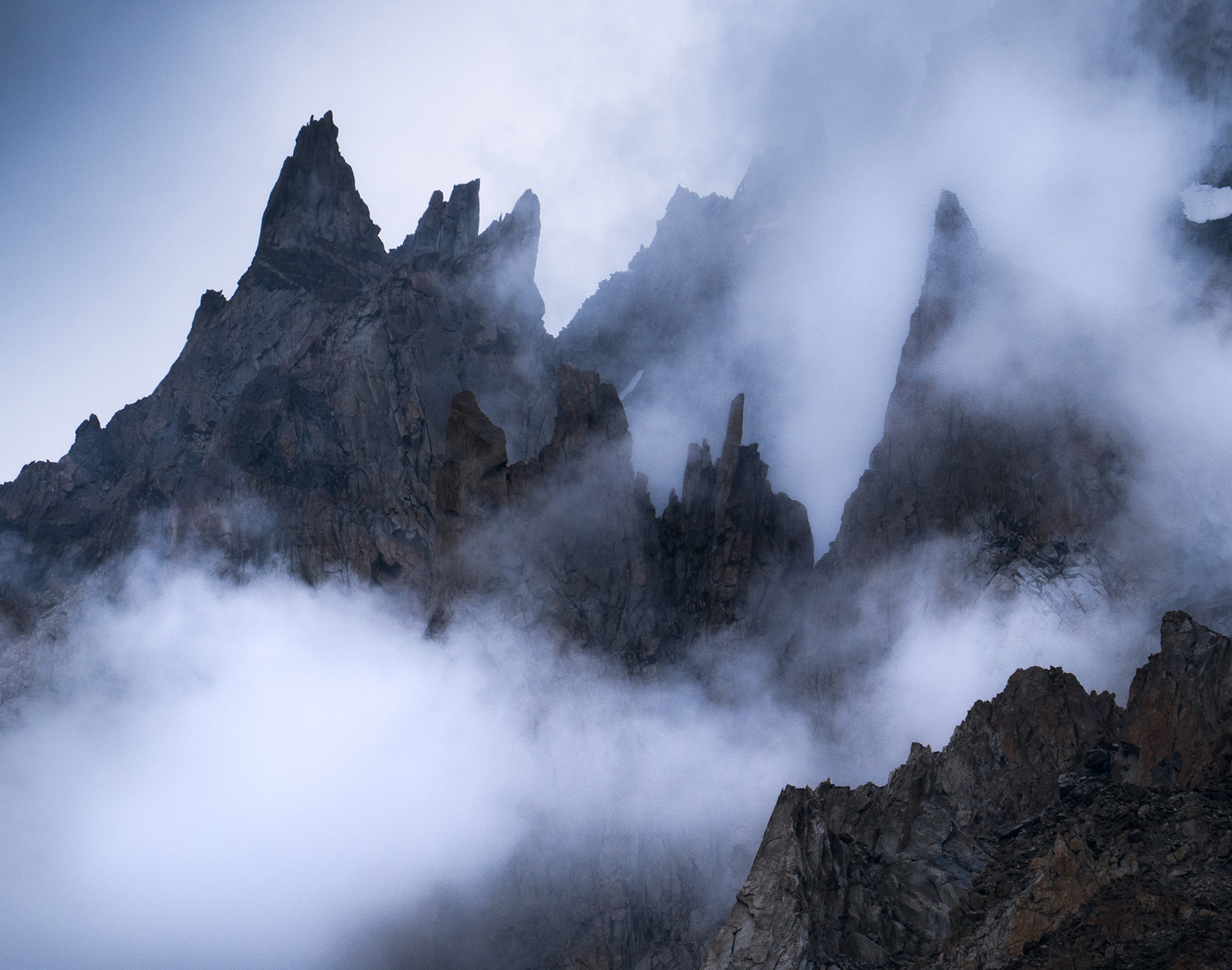


The first glimpses of the Trango Group towering over the Baltoro Glacier, piercing through the fast-moving clouds.

The clouds seem to open up with every step we take towards the Baltoro.

As we approach the mouth of the glacier, we start to see the full extent of the Trango Group.
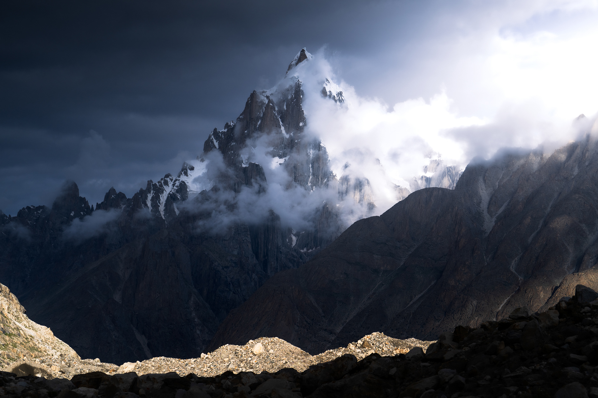
Paiju Peak (6,610m)


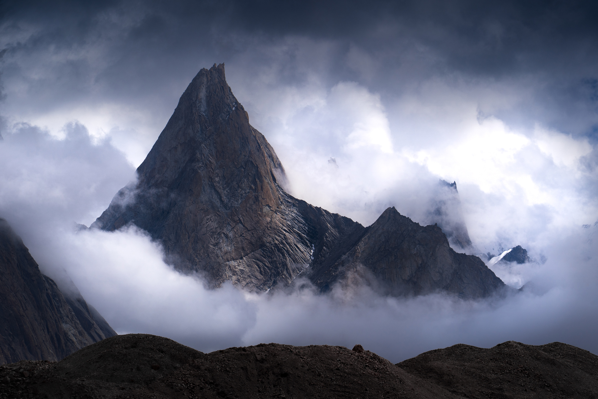
Drama over the Baltoro Glacier.
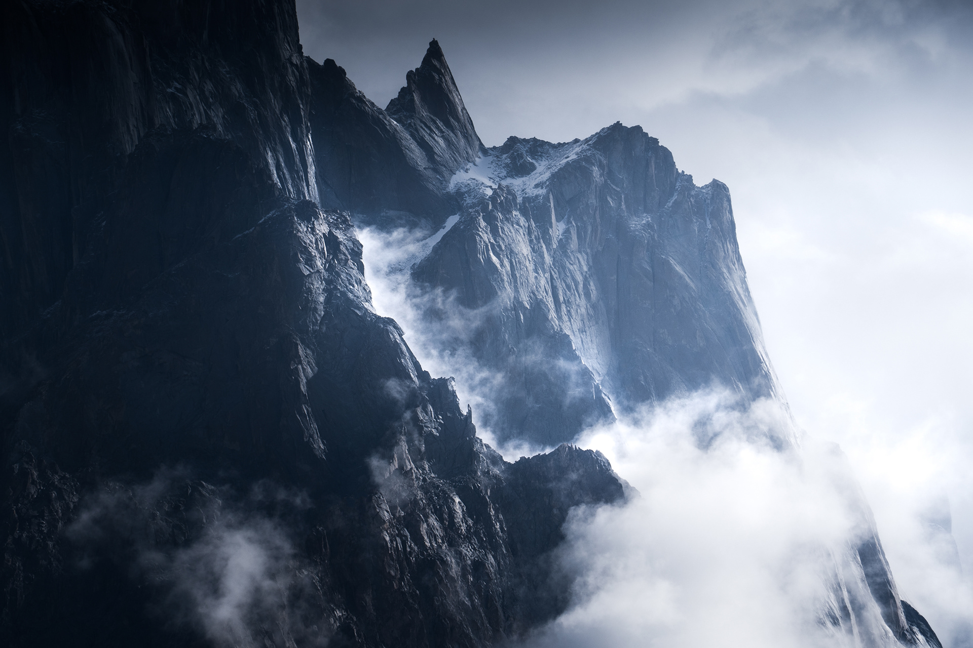


The Nameless Tower (6,239m), one of the highest vertical cliffs in the world, enshrouded.


Trango Castle, 5,753m

Continuing further East along the Baltoro, we reach Masherbrum, also known as K1 (7,821m)

Masherbrum, the Baltoro Glacier, and the Trango Group

Our first full view of G4, and a glimpse of Broad Peak.

The Milky Way rises over Masherbrum.

In the morning, he has found a hat.

On our way to Concordia, more razor-sharp mountains rise several kilometres above the Baltoro Glacier.

Inching towards Concordia, The Throne of the Mountain Gods, where it feels like we can almost touch the 8,000m peaks.


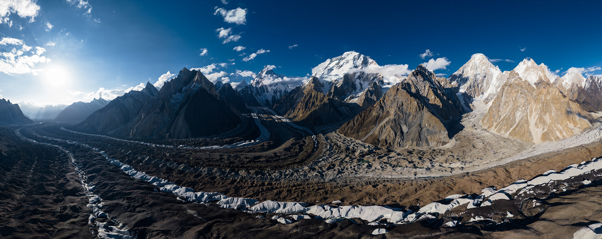
After more than a week, we reach Concordia, seen here in A 20-image Drone panorama, stretching from the Trango Group, over to the main massif, featuring K2, Broad Peak, G4, and a glimpse of G1.

Up close with G4.


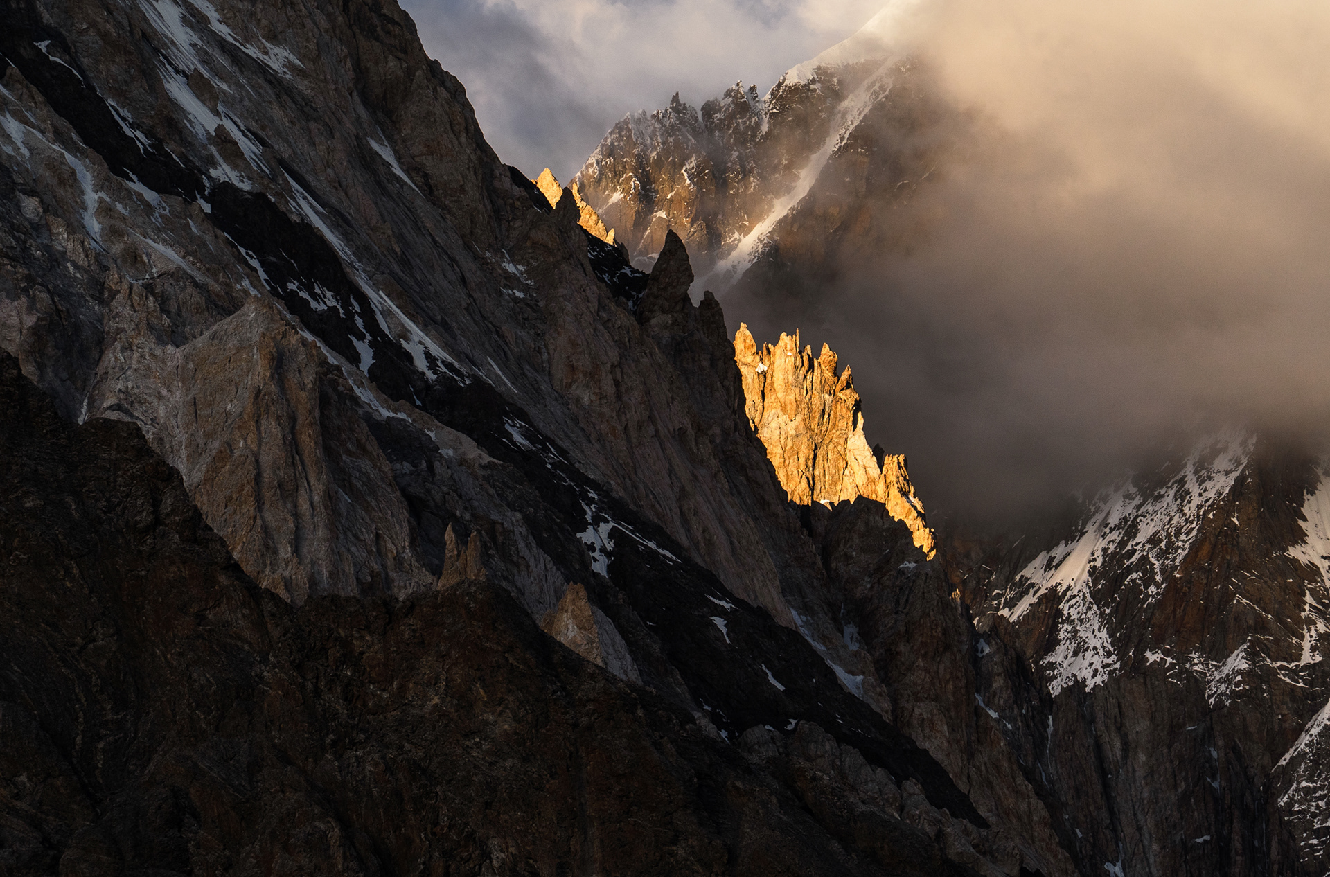

The first sunset over K2.


Kjumil Gri (6,851m) hidden from the sunset.

K2 and the Godwin-Austen Glacier.

What someone just starting to climb K2 would see upon looking back over the Godwin-Austen Glacier towards Concordia.


K2, seen from Broad Peak Base Camp

Returning to Concordia.
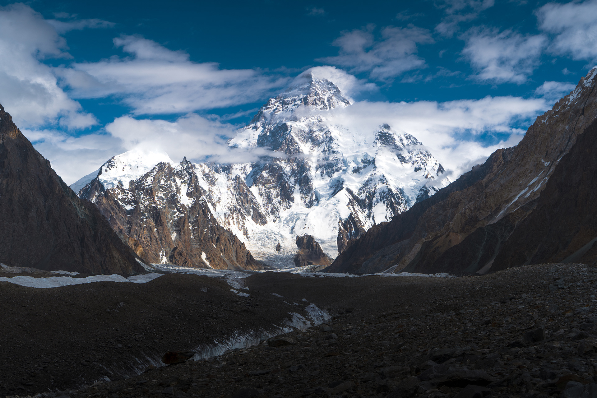

The sun lowers and illuminates the giants with a soft, golden light.


Broad Peak, 8,051m


Looking back at the Trango Group for the final time, before ascending higher, to ultimately cross the Gondogoro-La Pass.

Our last morning waking up at Concordia, and K2 greets us in full.

Now, we set off towards the Gondogora-La Pass, up the glacier on turning off into the right here.

As we approach Ali Camp, seen here in the bottom right corner, heavy rainfall threatens our crossing to the other side. The alternative would be to walk back the same 100km we came from, but almost twice as fast. Luckily, the storm dissipates in time for the 11pm cut-off. The drone takes off, flying over the massive Vigne Glacier, looking South towards the Gondogoro-La Pass, which we would be ascending in just a few hours.

The drone turns around, looking back towards an obscured G4. Our little Ali Camp is visible in the centre-left.


Starting at midnight, we reach the top of Gondogoro-La Pass (5,585m) as the sun starts illuminating the peaks. There, we are rewarded with a panoramic view over the Karakoram, including the elusive Gasherbrum 1 (8,080m), also known as Hidden Peak due to its extreme isolation.


Laila Peak (6,096m) piercing through the clouds.

As we begin our rope-aided descent of the steep, slippery, and difficult southern slope of the Gondogoro-La Pass, the clouds begin to retreat, revealing the sprawling glaciers below us.

After a long and difficult 12 hour crossing, we reach camp.

Laila Peak welcomes the sunrise. Perhaps one of the sharpest peaks on Earth.

The following day we hike 20km to our final camp and witness sunset over K7 (6,934m), our last of the 'Karakoram' peaks.


