


Koh-E Sedara, 6,150m, Afghanistan

Panorama of the Pamir, Wakhi, and Hindu Kush mountains. Shot from Tajikistan.

Lush villages just above the Panj river on the Afghan side of the Wakhan Valley.

Afghanistan on the left, Tajikistan on the right.


Small scale agriculture on the Afghan side of the Wakhan Valley.

An afghan peasant works the field.

A small Wakhi Afghan village.


Wheat and barley terraces on the Afghan side, roughly across from Langar, Tajikistan
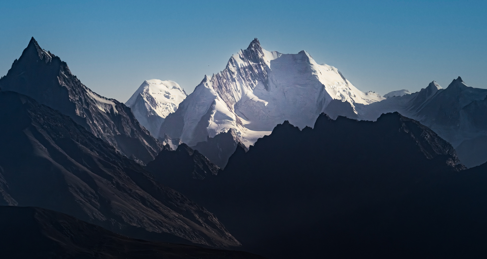
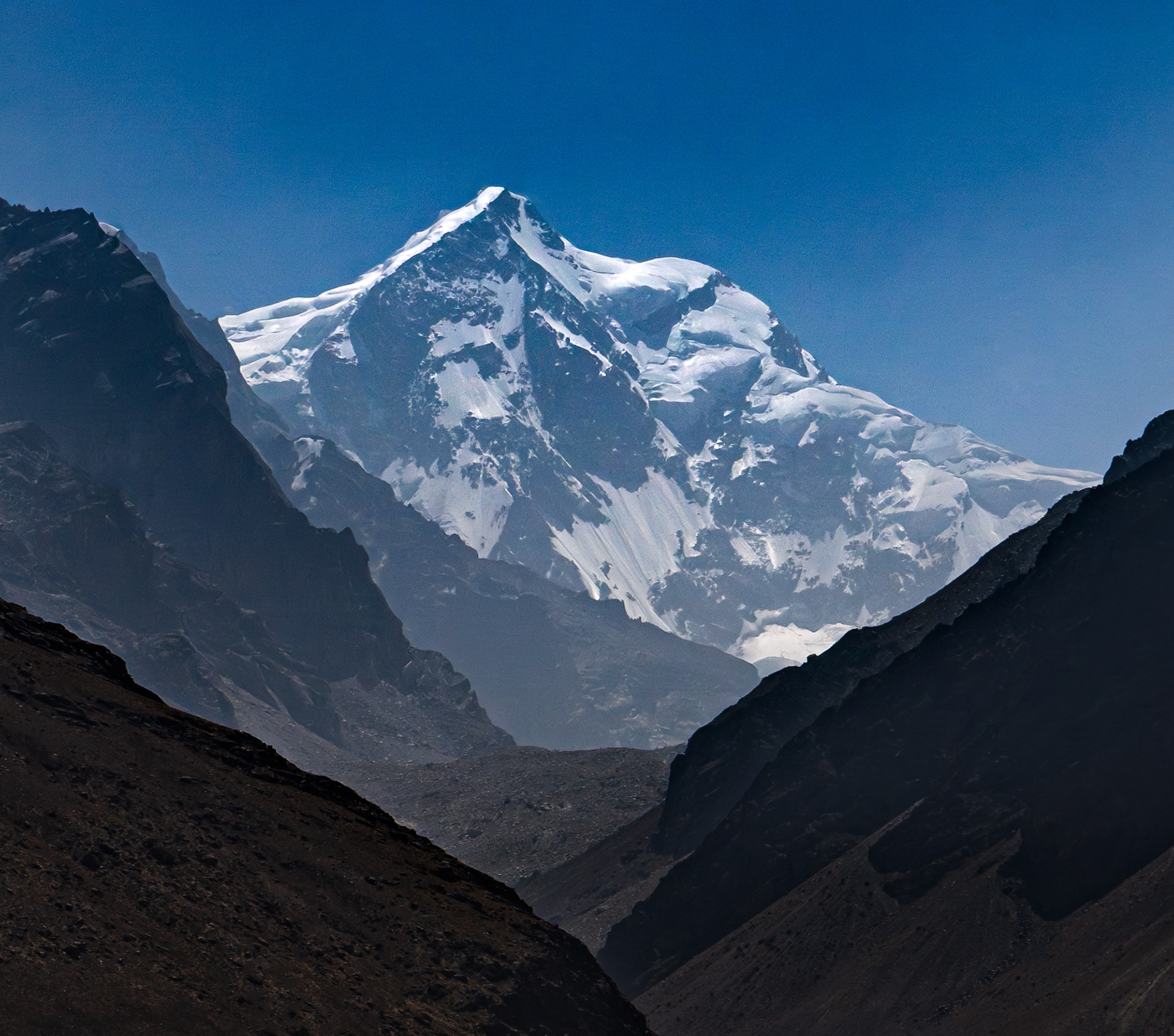
Koh-E Qala Panja, 6,328m, Afghanistan

Koh-E Sedara, 6,150m, Afghanistan

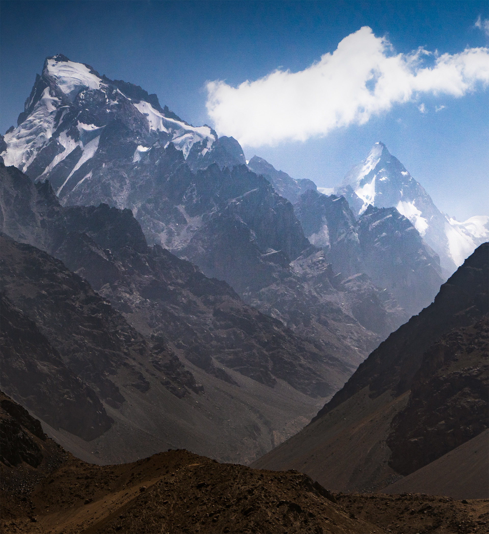
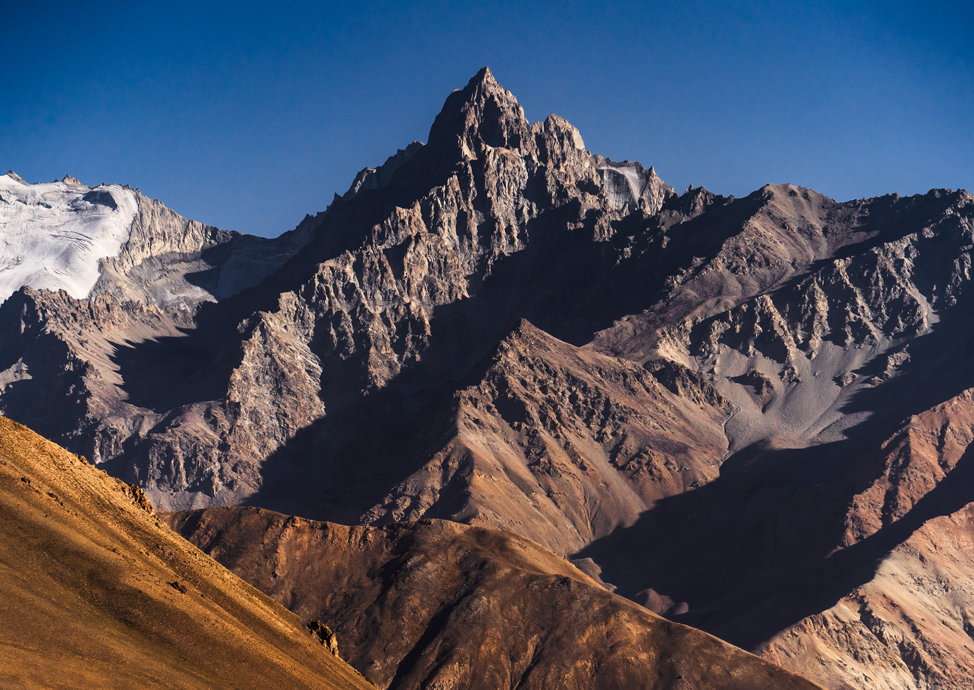
Rahozon Zom, 6,553m, Summit in Pakistan, main body in Afghanistan
Koh-E Sedara, 6,150m, Afghanistan
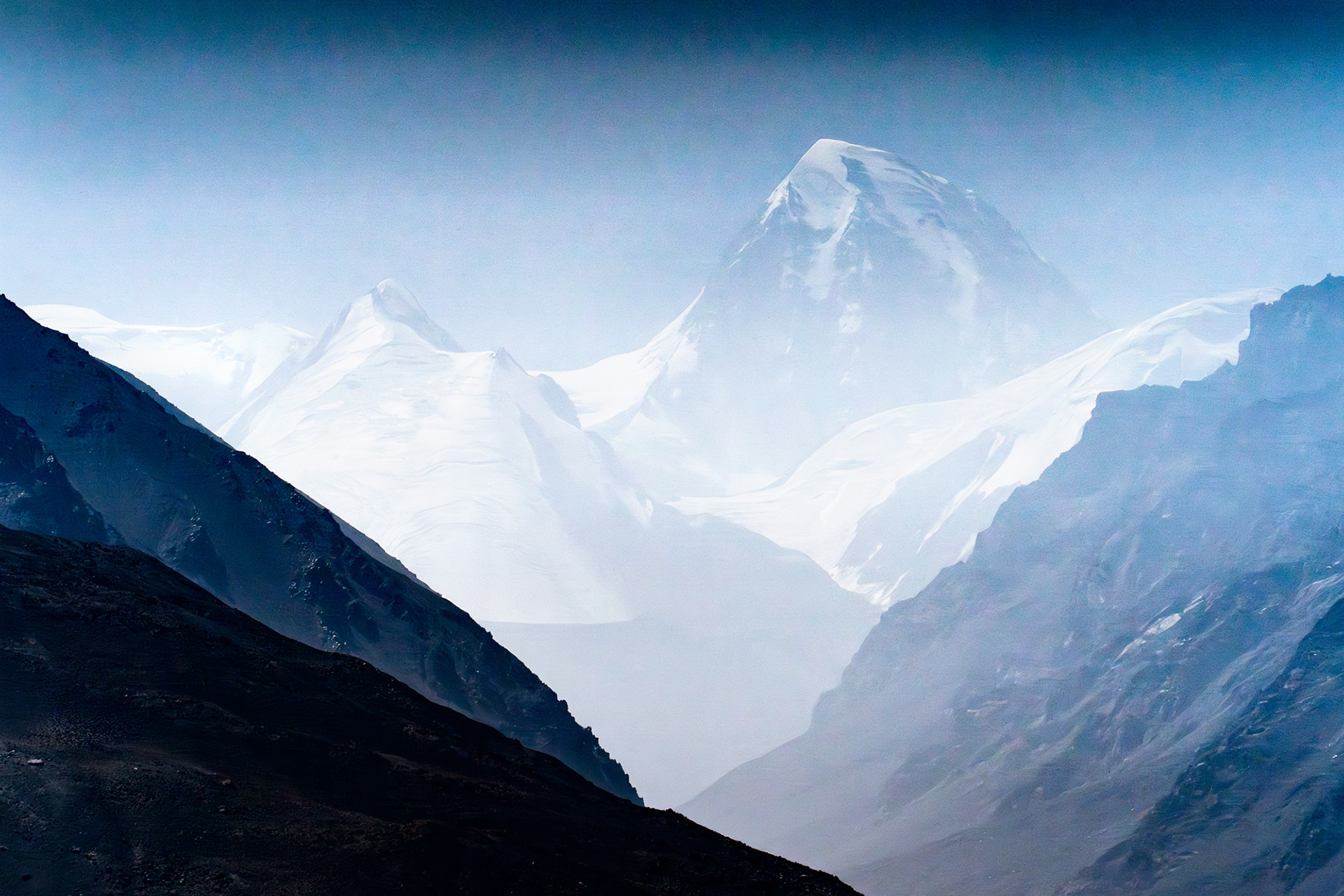
Shah Dhar, 7,038m, summit in Pakistan. Shot through very dense haze.

Koh-E Qala Panja, 6,328m, Afghanistan
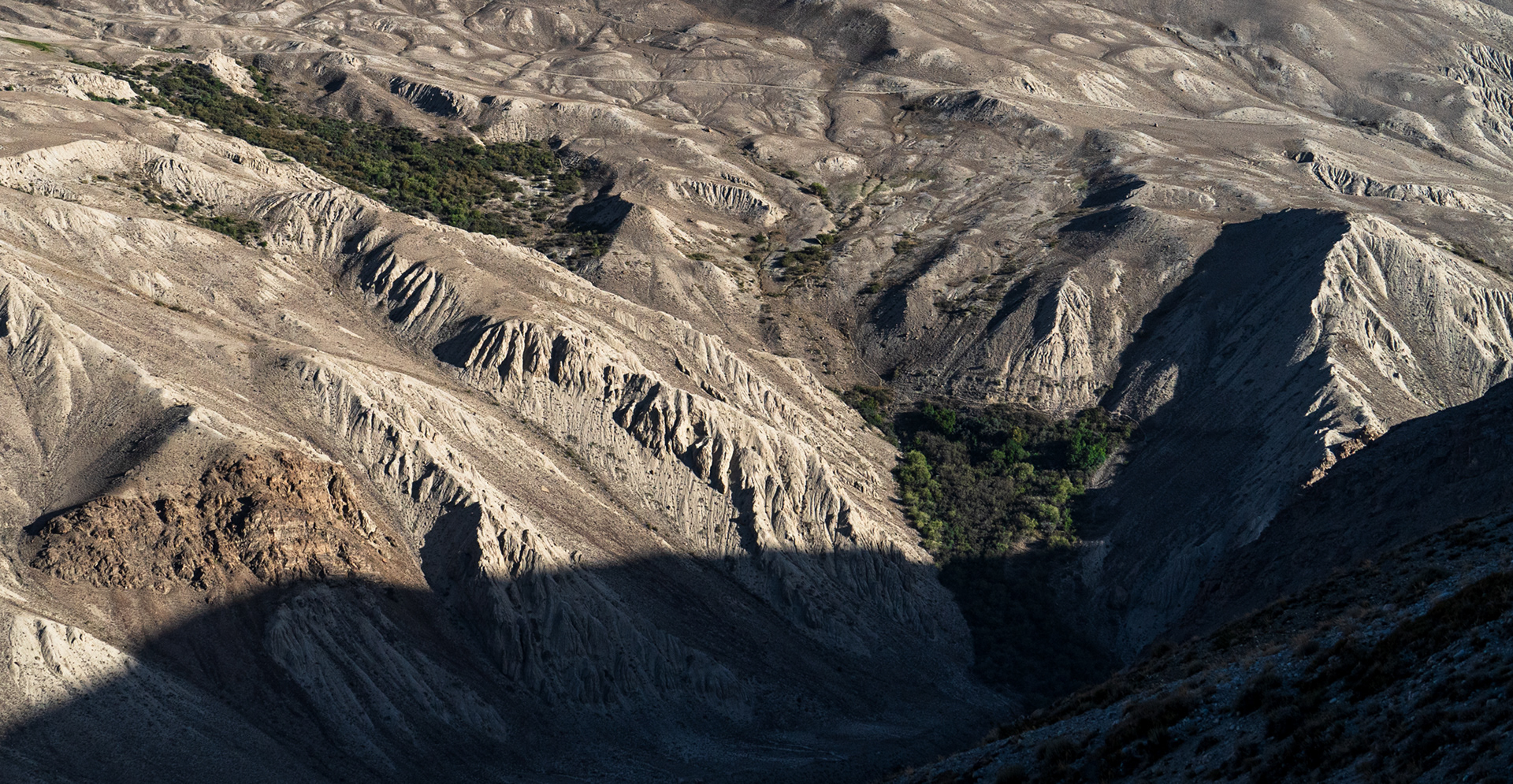
Badlands of Afghanistan

Just across the Panj river, we were able to admire the intricate details of the water-carved landscape.
Unnamed (possibly) peak standing 5,300m tall.

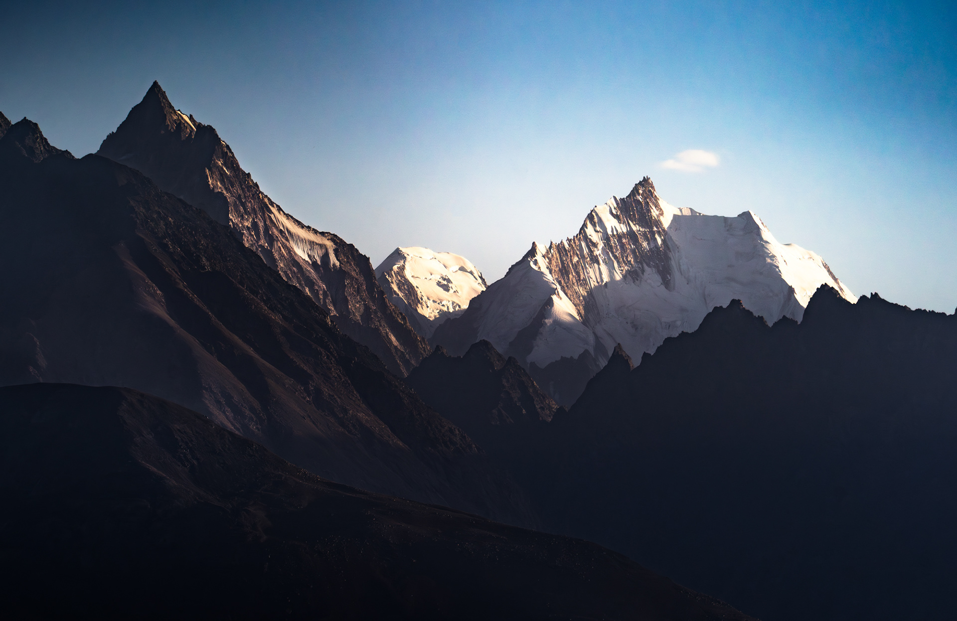
Possibly Koh-e Keshni Khan, 6,716m, Afghanistan


Possibly Koh-E Belandtarin, 6,286m, Afghanistan
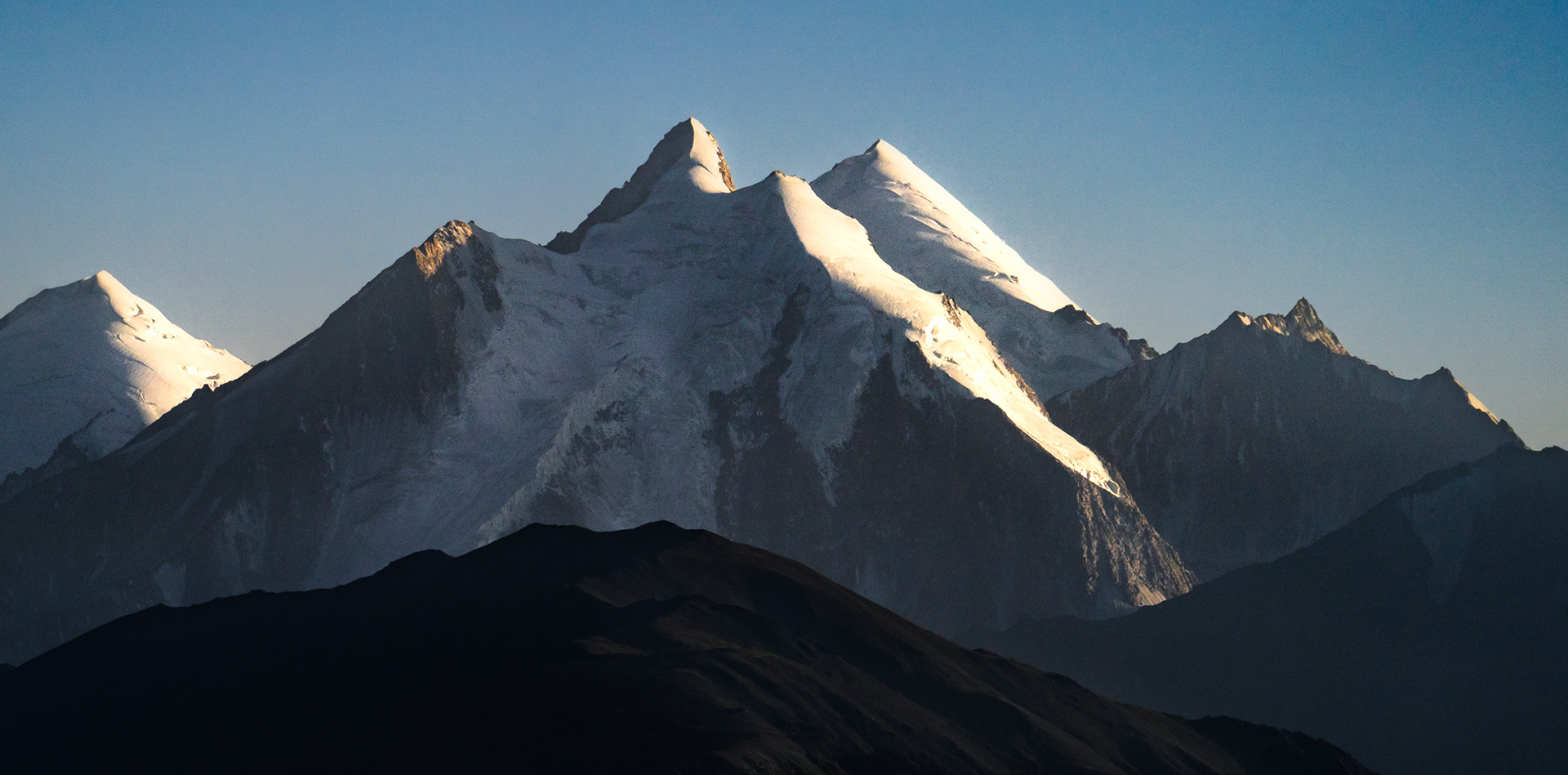
Koh-E Hevad, 6,849m, Afghanistan


Wakhan Valley, as seen from Vrang, Tajikistan

Edges of Vrang, Tajikistan

Buddhist Stupa in Vrang, Tajikistan.

Farmland surrounding the village of Vrang, Tajikistan


Looking into the rugged valleys of Afghanistan


The detour off the Pamir Highway (M41) into the Wakhan Valley. Glaciated Afghan peaks adorn the background.